An Caisteal
| Date: | Sunday 21 April |
| Transport: | COACH |
| OS Map No: | 50 |
A Walk - An Caisteal 995m (M) & Beinn a Chroin 940m (M)
Start layby on A82 at NN370 239. Take path under railway and on bridge over River Falloch. Follow track for approx. 1km, then ascend up flank of Sron Garbh 709m, then path on meandering ridge to An Caisteal 995m. From summit continue south to the bealach, then E up zig zag path avoiding rocky crags to summit of Beinn a Chroin. Head N down grassy ridge and pick up path following west side of River Falloch to return to start point.
Approx distance: 14 km
Total ascent: 1045 m
Min walking time: 5½ hrs
B Walk - An Caisteal 995m (M)
As A Walk to summit of An Caisteal. From summit head initially SW, then NW on ridge to reach Stob Glas 710m, then descend NNW to reach track (not on 1:50 map) at around NN 362 216. Follow track W to Derrydarroch and cross bridge over river Falloch to reach A82.
Approx distance: 12 km
Total ascent: 690 m
Min walking time: 4½ hrs
C Walk - West Highland Way: Ardleish to Derrydarroch (C+ Option to Crianlarich)
Catch 10am Ferry at Ardlui to cross to Ardleish. Follow WHW from Loch Lomond on E side of River Falloch passing Falls of Falloch and joining A82 after Derrydarroch (as B Walk). C+ Alternative for faster walkers: Continue on WHW to Crianlarich.
Approx distance: 9 km or C+ 15 km
Total ascent: 280 m or C+ 400 m
Min walking time: 3½ hrs @3kph or C+ 4½ hrs @4kph
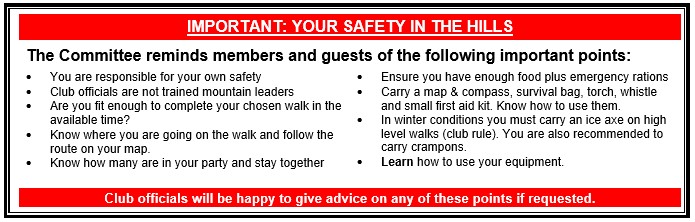
Please note that the Minimum walking times are based on reasonably fast walkers and assuming good conditions. The times do not include stops or breaks. In poor weather conditions or if members are not comfortable walking at 4km/hour then alternative or shorter routes should be considered.
Next Walk/Activity:
Club Weekend Away 11-13 May – Keswick / Borrowdale