Blairgowrie & District Hillwalking Club - Hill Navigation Course
THIS COURSE IS NOW FULL. Please contact Norman if you would like to participate in a future course.
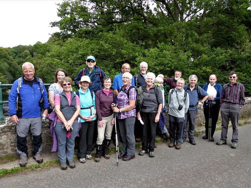
On Saturday 13th or Sunday 14th September 2025 Norman, who is a former Duke of Edinburgh’s Award leader, will take a small group into the hills to practice map reading and navigation techniques.
The intention is to take the basic knowledge learnt from the resources suggested overleaf and put it into practice in a hill environment. This day is aimed at those with no, or minimal, knowledge of hill navigation. Places are limited.
If you are interested, please email Norman to add your name and contact number and your preferred day (the link should open your email client with the Subject filled and the body with a template of items. It may not do this on some email clients - in this case please give your contact phone number and which day you prefer (13th or 14th) or if both are ok).
RESOURCES
You will need:
- A compass - Silva Ranger recommended (or the more expensive Expedition)
- A waterproof map case – Ortleib recommended (not the cheaper A4 document case)
- An Ordnance Survey Landranger 1:50000 map - sheet 52, Pitlochry & Crieff.
Prior knowledge of:
- Ordnance Survey maps and their different scales. Harveys maps use different scales but the principle is exactly the same.
- Map symbols and legends.
- Six figure grid references.
- Contours.
- How to use a Silva compass.
Resources to learn the pre-requisite basics:
The above can be learned from books or online resources of which there are many, for example:
The Ramblers, Beginners Guide To Navigation
Mountaineering Scotland’s Heather Morning - Introduction to Navigation Webinar November 2020 available on YouTube
The Ordnance Survey website has a choice of resources:
Beginners guides: Map reading
or
Resources: Map reading